Longlevens
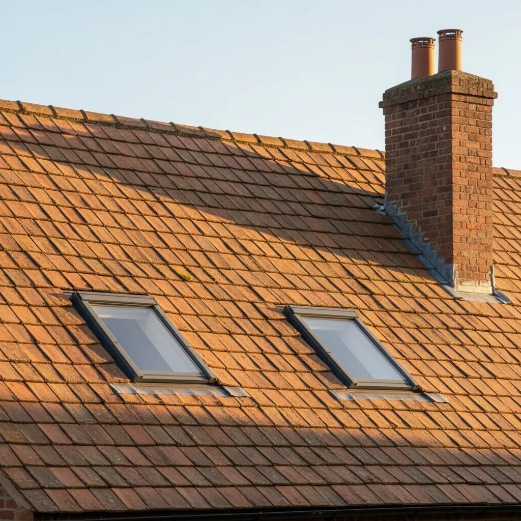
Interwar semis, hipped clay tile roofs.
The places we cover, grouped by the ground they stand on. Each page describes the roofs we actually meet there and how they are opened up.
Interwar semis, hipped clay tile roofs.

Ribbon interwar development, wide plots.
Postwar estates beside an older village core.

Late twentieth-century estate, trussed roofs.

Large modern estates, shallow pitches.
Interwar and postwar mix, rear extensions.
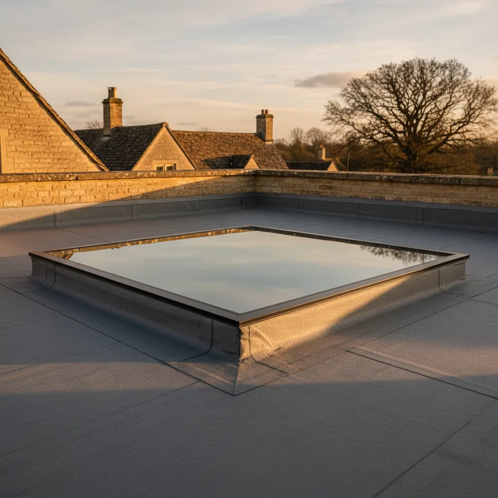
Victorian terraces, narrow rear additions.
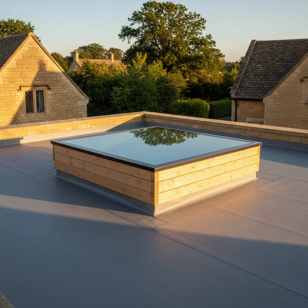
Postwar housing on the Robinswood slope.
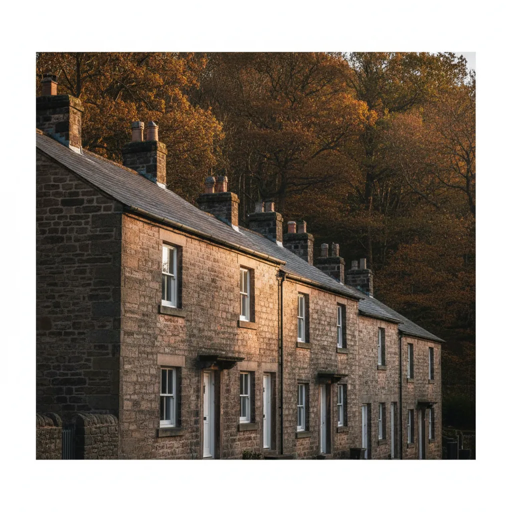
Village between the two towns, mixed eras.
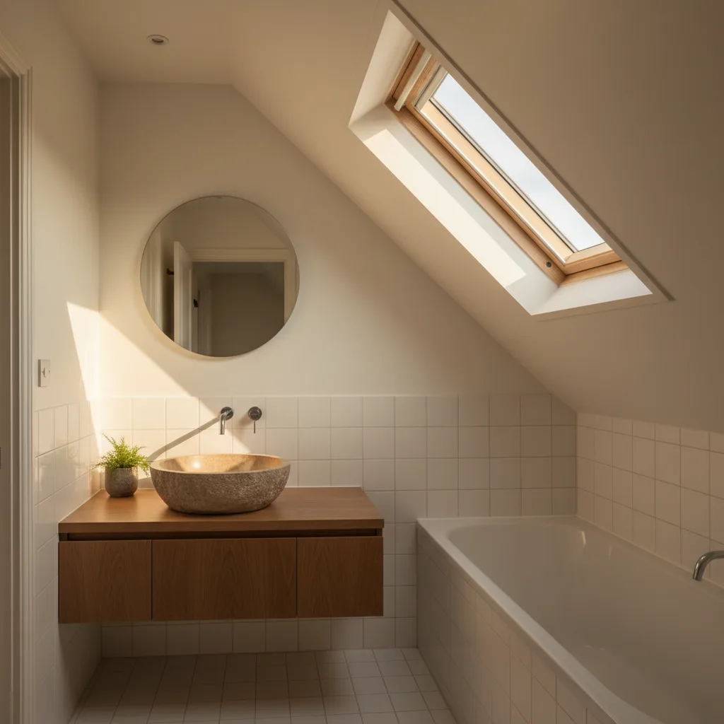
Postwar and modern estates under the scarp.
Former airfield housing, uniform roofs.
Village core beside the canal, stone and brick.
Estate village west of the Severn.

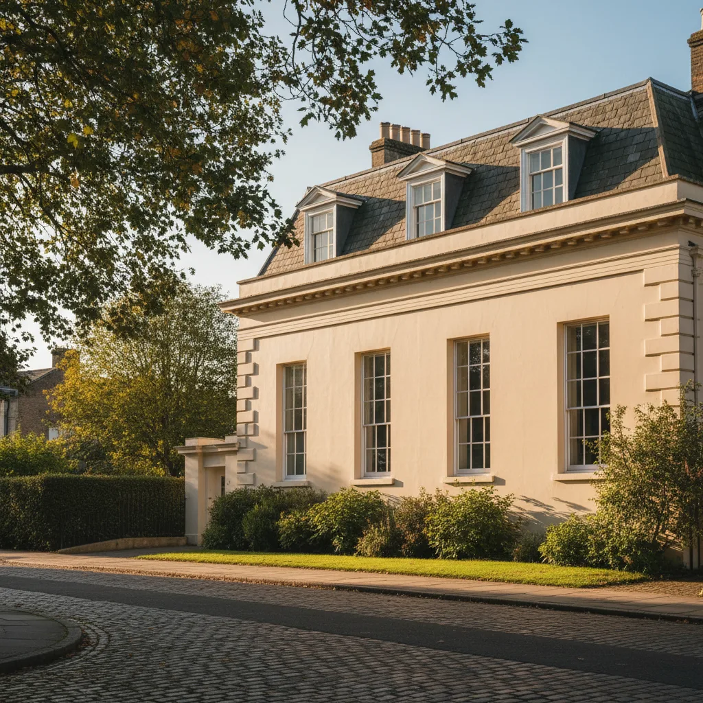
Regency stucco, slate mansards, high listed density.
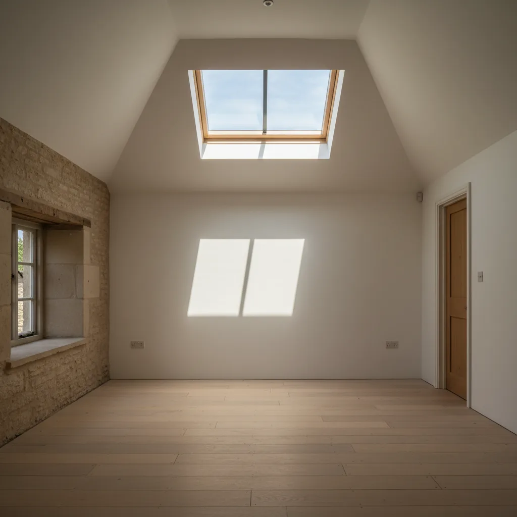
Victorian villas and interwar detached.
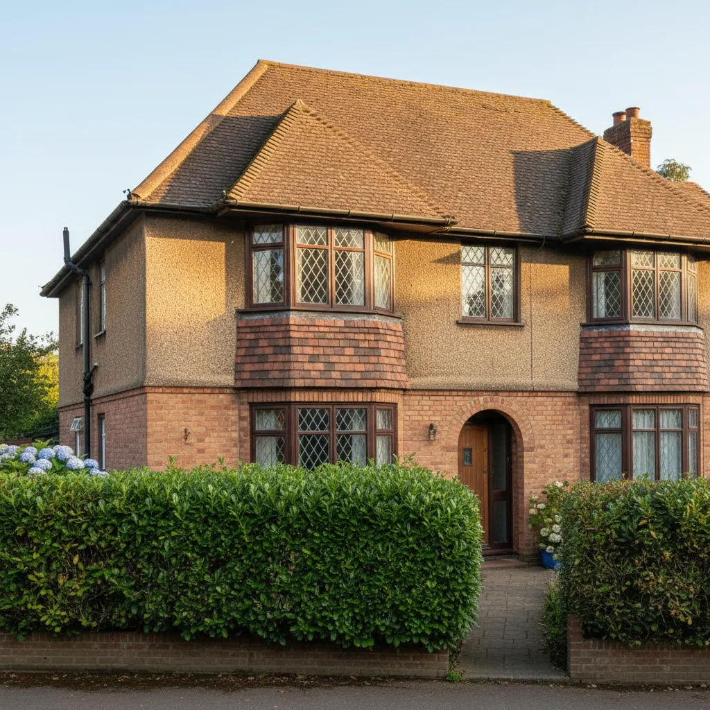
Village core, thatch and stone, conservation area.
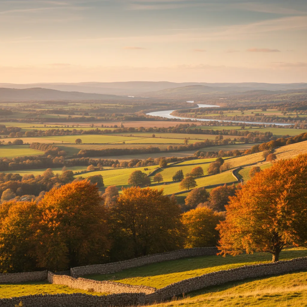
Victorian terraces rising to the hill.

Postwar and modern estates, shallow pitches.
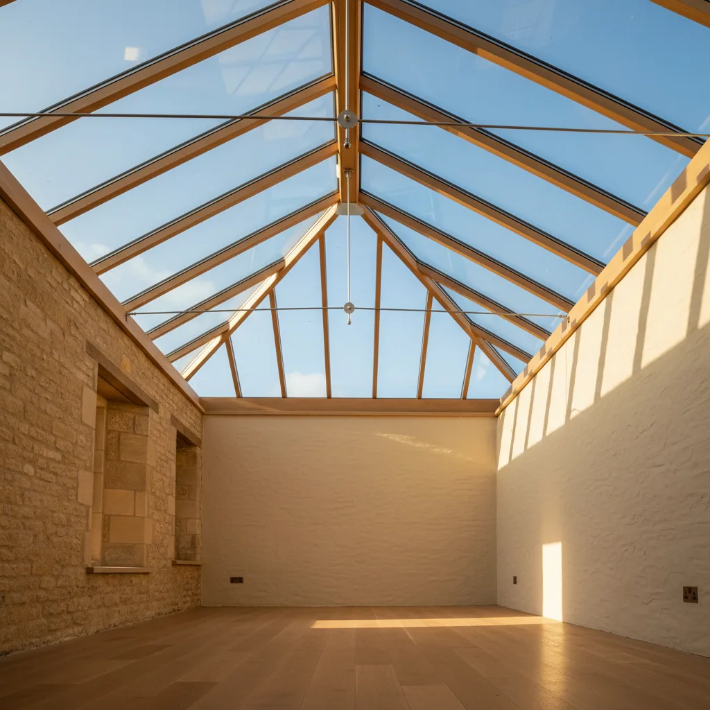
Interwar and postwar suburb, hipped roofs.
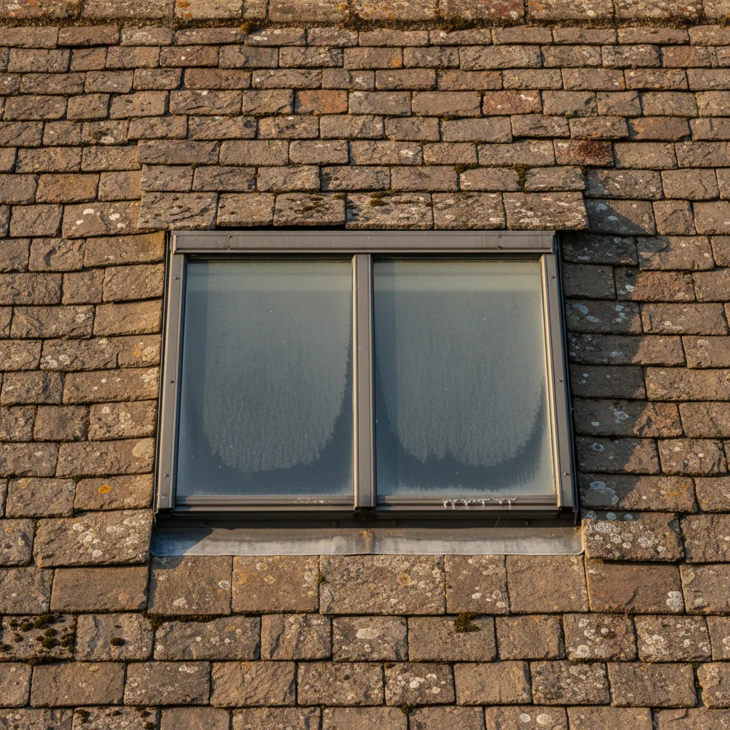
Large modern expansion around an old core.

Small village absorbed by the town edge.
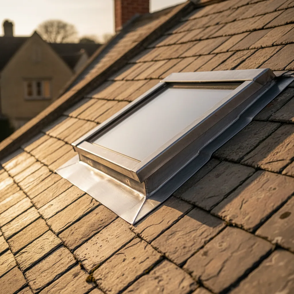
Steep valley town, Cotswold stone slate.
Hillside terraces, difficult roof access.
Valley-floor terraces and mill housing.
Canal and railway town, mixed stock.

Valley-bottom town, stone, steep plots.
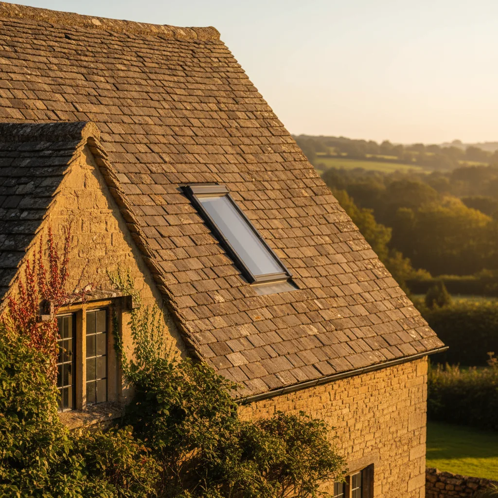
Exceptional listed density, stone slate roofs.

Common-edge town, stone, exposure.

Terraced valley sides, very steep access.

Hilltop village, stone slate, conservation area.
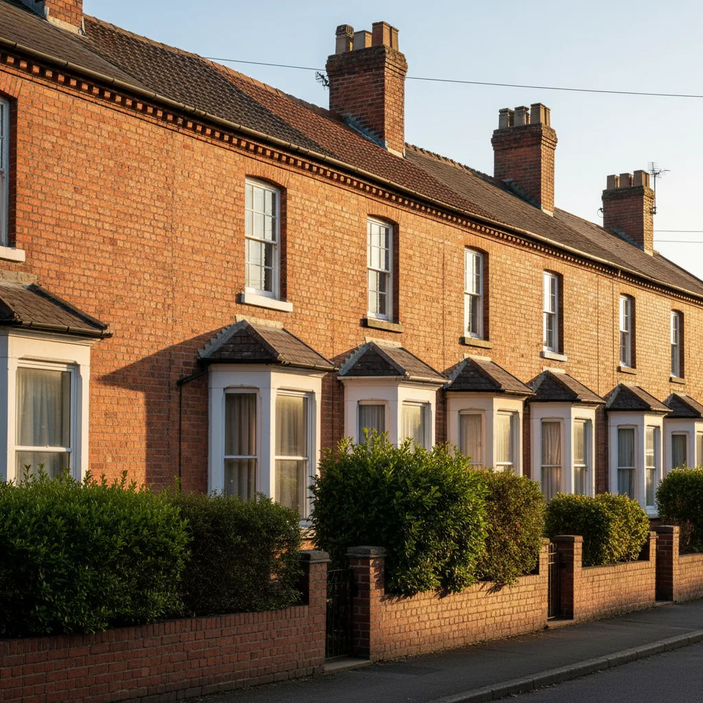
Market town under the scarp, mixed eras.
Listed high street, stone and render.
Small town, vale brick and stone.
Long green, timber frame and brick.
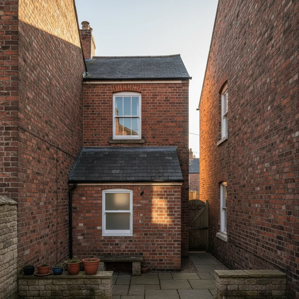
Medieval core, timber frame, flood context.
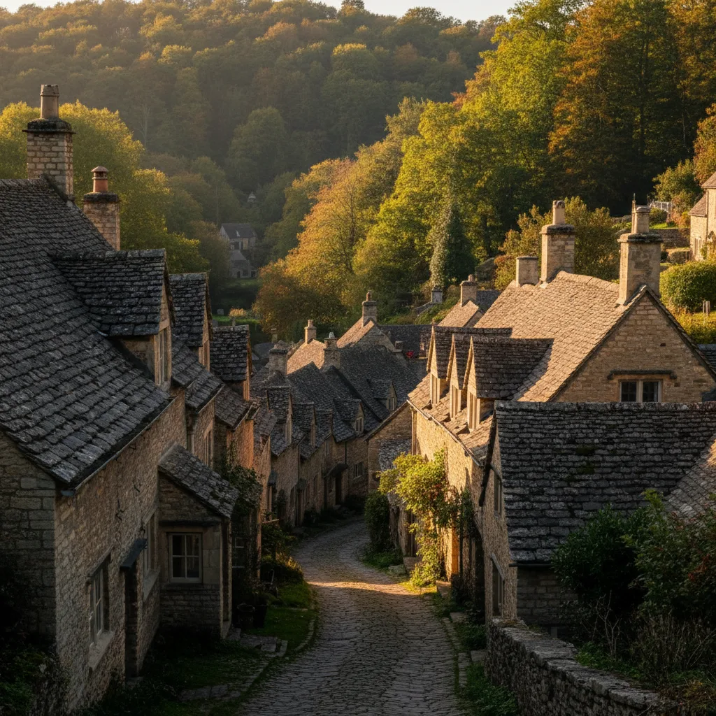
Stone town on the Cotswold edge.
Modern estate expansion, trussed roofs.
Vale village, brick and stone, some thatch.
Scattered vale village, mixed stock.
Small vale parish, agricultural conversions.
Village on the Severn, brick and tile.
College village, barns and farmhouses.
Market town, dense listed core, stone slate.
Wool town, steep roofs, high listed density.
Small wool town, stone slate throughout.
River village, tourism, conservation area.
Hilltop town, exposure, stone slate.
Wide high street, listed frontages.
Exceptional listed density, honey limestone.
Former silk village, steep stone roofs.
Small town on the Coln, stone and render.
Thames-head town, mixed stone and brick.
Very high listed density, steep stone slate.
Small village on the wolds, exposure.
Forest town, local sandstone and Welsh slate.
Former mining town, terraced housing.
Estuary-side town, mixed brick and stone.
Market town, timber frame and brick.
Small town under the forest edge.
Forest village, stone and rendered stock.
Village on the Severn shore, exposure.
River town, Georgian frontages.
Herefordshire market town, listed core.
Herefordshire, exceptional timber frame.
Worcestershire, Victorian villas on the hills.
Monmouthshire, castle town, Welsh slate.
Monmouthshire, Georgian core, stone.
South Gloucestershire, listed high street.
South Gloucestershire, postwar and modern estates.
South Gloucestershire, wide listed street.
Severn Skylights Gloucester works from the city outwards, thirty miles by road in every direction the roads actually go. That is a deliberately awkward way to describe a service area, and it is the honest one: the Severn cuts through the middle of it, the Cotswold escarpment stands along the eastern edge, and the difference between thirty miles on a map and thirty miles behind a van is considerable in both directions. What follows is what that radius really reaches, why the roofs inside it vary more than almost any comparable area in England, and how the pages below are arranged.
Measured by road rather than across country, the radius pulls a long way north and south along the M5 and considerably less to the west, because the river has to be crossed at a bridge. North it takes in Tewkesbury and the vale villages, Ledbury and the Malverns. South it runs down past Stonehouse and Dursley to Thornbury, Yate and Chipping Sodbury on the Bristol fringe. East it climbs the escarpment on the A417 and the A40 to Cirencester, Northleach, Stow, Moreton and the wool towns beyond. West it crosses the Severn into the Forest of Dean, then over the Wye to Monmouth and down to Chepstow.
Cheltenham, Gloucester’s suburbs and the Stroud valleys sit close in and account for a large share of the work simply because that is where most of the housing is. The far edges are reached less often and are reached properly when they are: a job in Chipping Campden or Lechlade is planned around the travel rather than squeezed between two others, because a crew arriving late is a crew that finishes the outside work in the dark, and nothing here is ever left open overnight.
Most of the radius is Gloucestershire and it is worth being plain that not all of it is. Ross-on-Wye and Ledbury are Herefordshire. Malvern is Worcestershire. Thornbury, Yate and Chipping Sodbury are South Gloucestershire, a separate unitary authority from the county. Monmouth and Chepstow are Monmouthshire, which is in Wales.
That matters more than a line on a map usually does, because the two permissions a rooflight can need are both administered locally. Planning and conservation sit with whichever authority covers the address, and their conservation officers have their own settled views on what is acceptable on a visible slope. Building control notification also follows the address, and in Wales the national guidance documents behind it are made separately from the English ones and differ in points of detail. None of that changes the work on the roof. It changes who the paperwork goes to and how long it takes, and it is established at survey rather than discovered later. The notification is handled as part of the job wherever the address falls.
Before cheap transport, a house was built from whatever was within a cart’s journey of it. The radius around Gloucester happens to cross three quite different geologies in about forty minutes of driving: oolitic limestone along the Cotswold escarpment and the wolds behind it, the alluvial clay of the Severn Vale, and the old red sandstone and coal measures of the Forest of Dean. Every one of them produced a different building stone, a different roof covering and a different pitch, and every one of those still sits on the roofs today.
Then the twentieth century laid two further layers over the top: interwar and post-war suburbs in hipped concrete tile, and modern estates in trussed rafter construction with a very different structural rulebook. The result is that the same rooflight, ordered from the same manufacturer on the same day, is a genuinely different job in Painswick and in Quedgeley. This is the reason there are pages by place at all, rather than one page saying the company covers Gloucestershire.
| Where | What the roofs are | What that changes about the work |
|---|---|---|
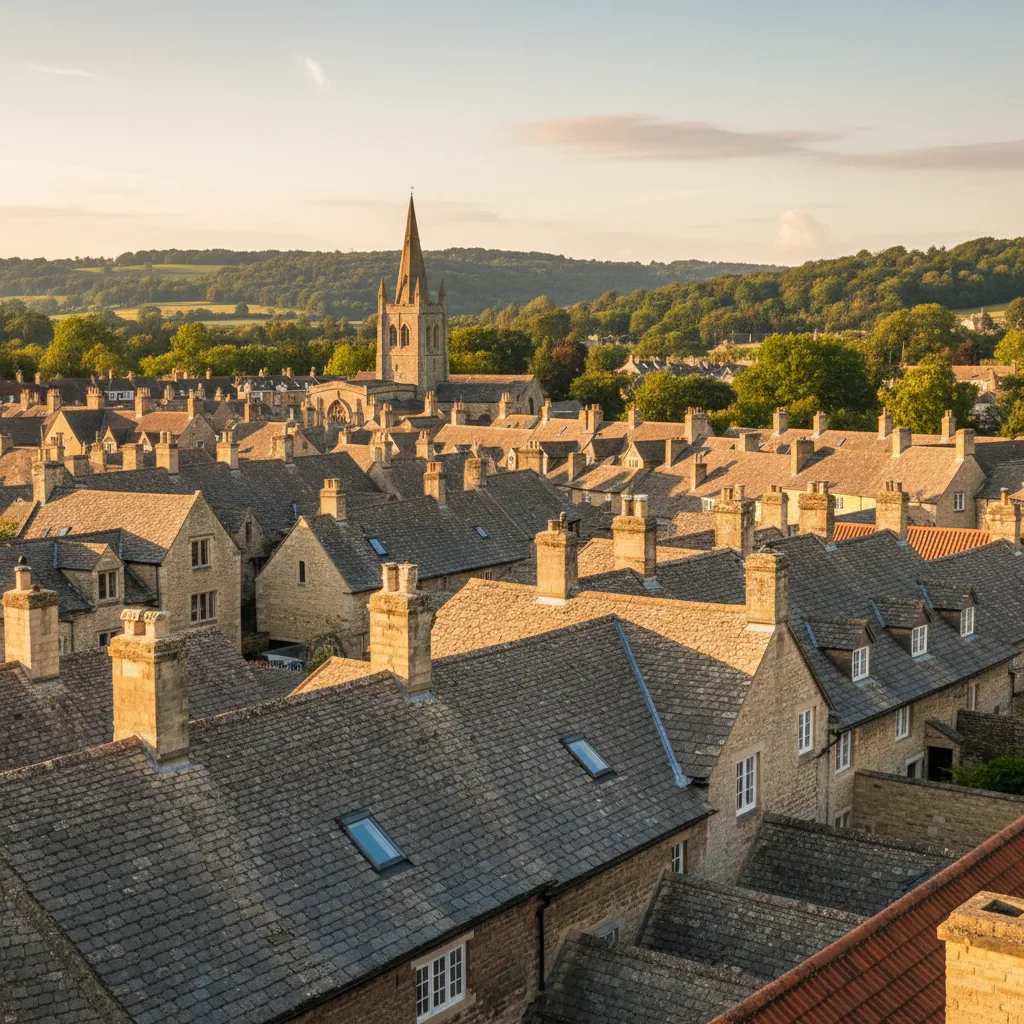
| The wolds and the Cotswold towns | Graded stone slate in diminishing courses on riven battens, often torched from below with lime mortar | Courses are taken back up the slope and re-laid rather than cut around. Reclaimed slate is matched for size and weathering. A conservation unit is nearly always the right answer |
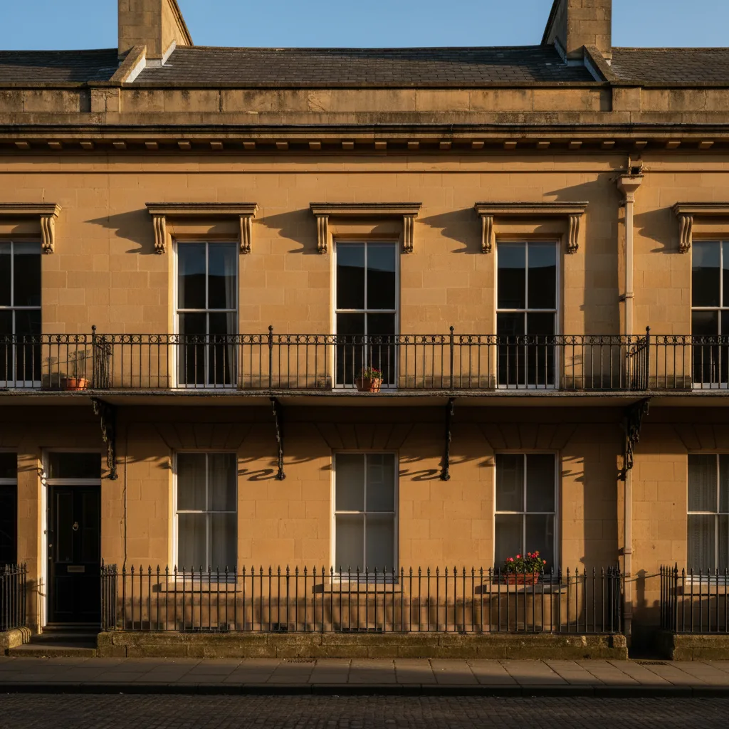
| Central Cheltenham | Regency stucco with Welsh slate, much of it mansard behind a parapet, much of it listed | The shallow upper slope is hidden from the street and usually below the pitch a roof window is rated for, so the unit goes on a kerb and the consent conversation changes shape |
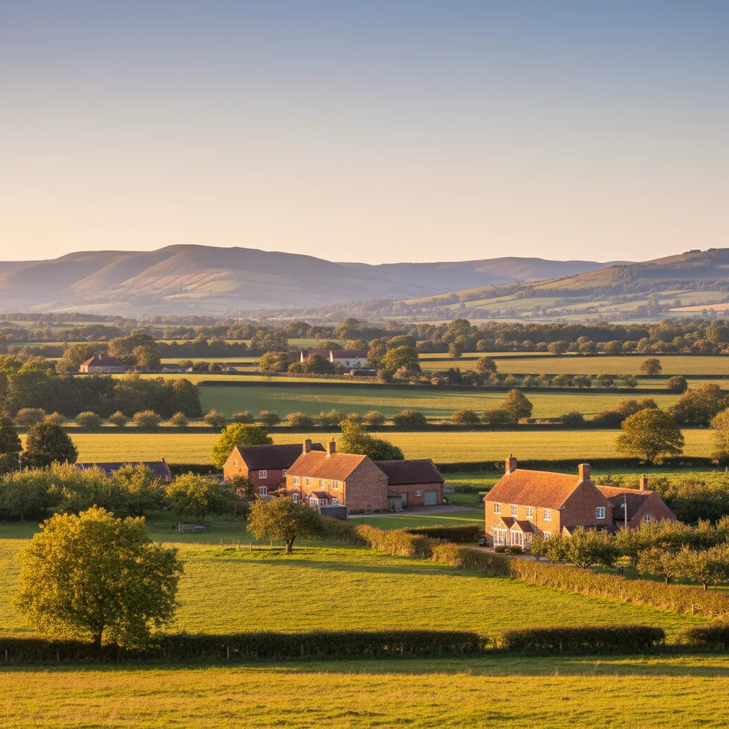
| Gloucester, Tewkesbury and the Severn Vale | Red brick with clay tile or slate, Victorian terraces with narrow two-storey rear additions | The run of slope over a rear addition is short, so the choice is a smaller unit set high, two small ones, or a made-to-size unit on the flat behind |
| The Forest of Dean | Local sandstone walls under small-format Welsh slate, steep, in former mining terraces | Wetter and windier, so head laps go beyond the minimum and side flashings run wider. The steep pitch makes a taller reveal and puts the opener out of reach |
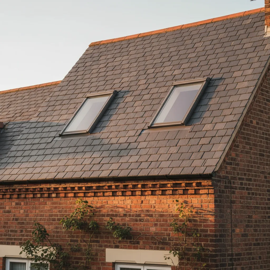
| Interwar and post-war suburbs | Hipped roofs at around 30 to 35 degrees in concrete interlocking tile, cut construction with purlins | Rafters can be trimmed, but the hip narrows the slope towards the corner and a purlin crosses the middle, so the usable rectangle is smaller than the roof looks |
| Modern estates | Trussed rafters at 600mm centres, nail-plated and designed as a whole | An opening either fits between two trusses or carries the affected truss on a designed member, with a calculation submitted before the covering comes off |
| The Stroud valleys | Stone and render built into steep hillsides, terraces stepping up the slope | Access decides the programme. Scaffold is often hand-carried, and the survey looks hardest at the lane rather than at the roof |
In most of the radius, getting to the work is unremarkable: a driveway, a level garden, a tower or a modest scaffold, material carried a short distance. In the valleys around Stroud, Chalford, Rodborough and Nailsworth it is the single largest variable in the job. Houses are cut into the bank, so a cottage is one storey at the front and three at the back. Access runs by shared lane, footpath or a flight of steps. Retaining walls sit hard against the elevation and there is nowhere flat to stand a tower.
Said plainly: scaffold sometimes has to be hand-carried a long way, and a lantern’s glass may need extra hands or a mechanical lift where no lorry can get within reach. That takes longer and it costs more, and it is priced from the survey with the access looked at properly so the figure holds when the crew arrives. The compensation is that these are the houses where a rooflight does the most good, because a cottage with a bank behind it and neighbours tight on both sides has no elevation left to put a window in.
The places are grouped by the ground they stand on rather than alphabetically, and the groups run outward from the city: Gloucester’s own localities first, then Cheltenham, then the valleys, the vale, the wolds, the Forest, and finally the towns over the county and national borders. Each page describes the roofs actually found in that place, the structural pattern underneath them, the local consent position and the access.
Villages are covered by the town page nearest them, because geology does not stop at a parish boundary. A cottage between Bibury and Northleach has the same stone slate, the same diminishing courses and the same reclaimed material question as either of them. A house on the lanes between Quedgeley and Hardwicke has the same trussed roof as the estate it sits beside. If your own address is not the name at the top of a page, the page for the nearest town describes your roof accurately, and an email with a photograph settles the rest.
The county changes the method and it does not change the standards. Every job is surveyed before a fixed price is given, and the survey is where the covering is properly identified, the structure looked at from inside the void, and the access measured. Any structural trimming is designed before a rafter is cut. The perimeter is detailed to the same specification whether the covering is stone slate or concrete tile: upstand height taken from the finished surface, falls that shed, flashing laps run with the flow and fixed at the head, underlay dressed rather than slit around the frame. The Building Control notification is handled as part of the job. The roof is never left open overnight, anywhere. And the workmanship carries a ten-year guarantee across the whole radius, not just the easy half of it.
To start anywhere inside it, email info@severnskylightsgloucester.co.uk with a photograph of the roof, a photograph of the room and the address. The costs page explains what comes back and in what order, and the guides cover the technical questions in depth.
We will come and look at it, and tell you honestly what it needs.
Fill in what you can. It opens WhatsApp with the message ready to send.